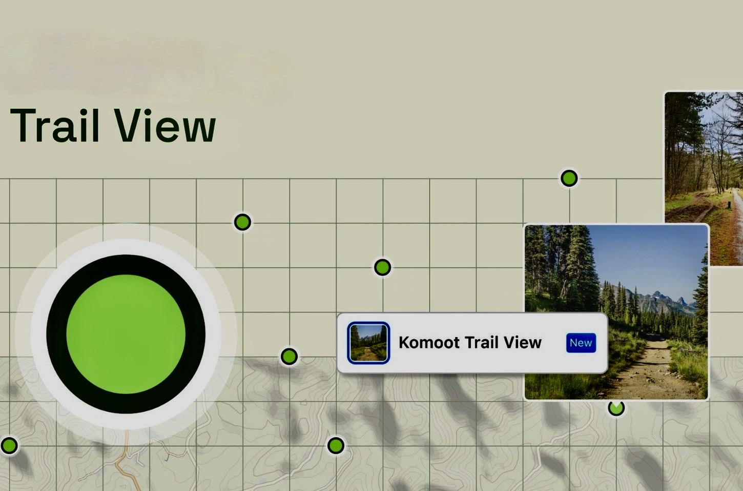

Komoot has launched the latest addition to its cycling app called Trail View, which allows users to visualize their route courtesy of artificial intelligence (AI).
Up until now, Komoot’s platform has been popular of its route planning and ride-sharing features, integrating points of interest and user-generated content.
However, thanks to AI technology, curated trail images can now be integrated into Komoot’s mapping, eliminating the tedious task of switching between the the company’s planning app and Google Street View in order to visualize their route.
“Product development at Komoot is geared towards leveraging the power of our outdoor collective out on the trails and finding innovative ways to enhance their outdoor experience by connecting everyone’s knowledge. And Trail View is such a great example of how innovation. We have added over 1 million images into its mapping so you can see pictures of tracks and trails,,” says Jonas Spengler, CTO at Komoot.
Komoot explains that the AI software scans images and automatically identifies suitable markers, removing any images that don’t meet the required criteria (ie. images that include faces, animals, landscapes, buildings etc.). Moreover, this is an ongoing process, so as users upload more images, they will be added to the maps.
Trail View is available for all users via Komoot’s web platform, which can be used by selecting the Trail View map layer when planning a route here.


