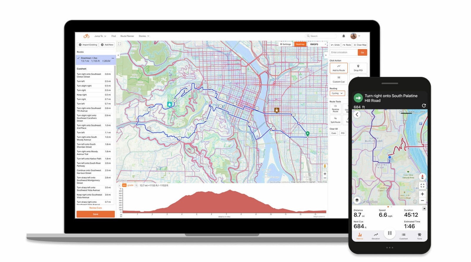

Drawing upon the vast riding experiences of its worldwide community of cyclists, Ride with GPS has created the heatmap to help its users discover and plan safe routes – no matter where they are.
“Whether users find themselves in a new area, or just want to plan a new route in their existing city, the mobile and web-compatible heatmap allows cyclists to discover, plan and navigate great rides worldwide,” says Ride with GPS.
How it works
Ride with GPS developed the Heatmap using two years of publicly-logged ride data from its global community of millions of cyclists, wherein the heatmap displays the aggregated data from these trips and highlights it on the map, showing the “heat” generated by these activities so users can see where people are riding in any given area throughout the world, as well as receive new updates in ride data each week. Moreover, the heatmap overlays seamlessly onto a desktop or laptop computer, while the mobile app version allows planners to record their routes on their smartphone’s screen, eliminating the need to go back and forth between a heatmap and a route plan when users create or navigate their rides.
Where to find it
The heatmap is publicly viewable, with no account required, at ridewithgps.com/heatmap. Premium members can also use the heatmap as an overlay in the route planner and view it alongside an interactive elevation profile, while splitting and combining segments, auto-tracing rides into routes, color-coding segments, adding POIs and custom cues, and more.
Additionally, the heatmap is accessible on-the-go to registered users via the Ride with GPS iOS and Android mobile apps, allowing them to record and view a ride at no cost, while Basic and Premium members can create and edit routes on-the-fly using the Mobile Route Planner.
Privacy
The privacy of Ride with GPS’ users is crucial to them, having taken the following measures to keep user data private in developing the heatmap:
• Individual ride data has been fully anonymized into an aggregate dataset
• Only publicly-logged rides from public users are included
• Start and end points of rides are automatically designated as privacy zones and obscured from the data in order to remove potential “hot spots” such as homes
• All user-created privacy zones are respected and not included in the ride data
• Users may opt-out at any time through their privacy settings
Ready to start using the world’s most powerful route planning platform?
The heatmap is available for everyone to view at ridewithgps.com/heatmap, while Basic and Premium users gain additional access to it in Ride with GPS’ web and mobile route planners.
You can learn more about all of the advanced route planning and editing tools available from Ride with GPS, along with the different membership tiers by visiting here.


